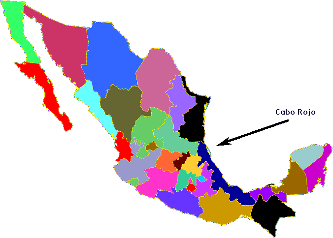
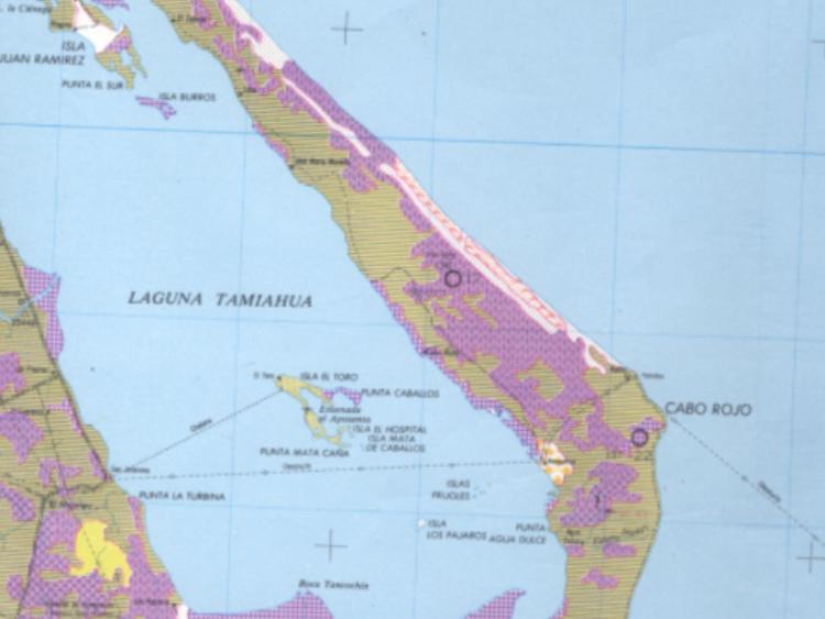
Cabo Rojo is a barrier island facing the Gulf of Mexico that begins just to the south of Tampico. It is several miles wide at its widest point and stretches in a boomerang shape for probably 50 miles or more.
A shallow body of water and several smaller islands separates Cabo Rojo from the mainland.
The island is currently difficult to get to. A road has been started which is planned to someday extend the length of the island. A bridge is also planned to connect the southern tip of the island with the mainland.
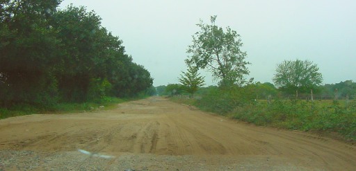
Access to the island is also available from the north end by driving several miles on dirt road...
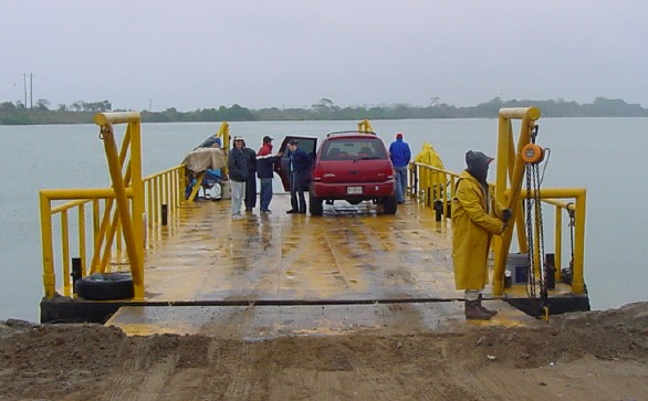
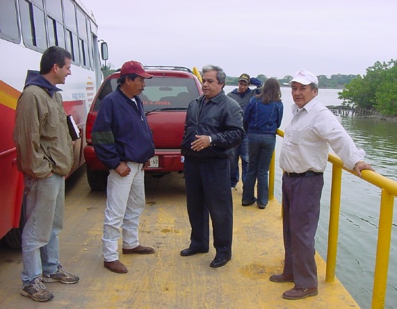
crossing on a ferry to another island...
driving a mile or two farther on a dirt road to a small fishing village...
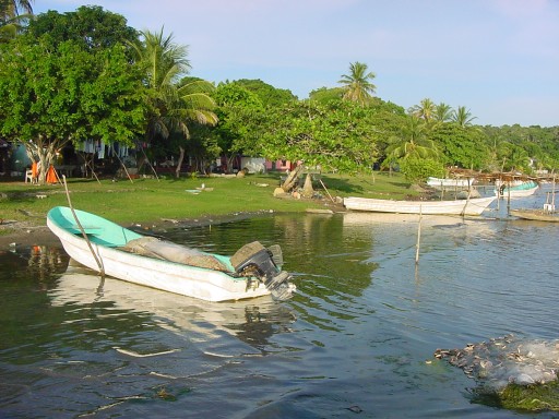
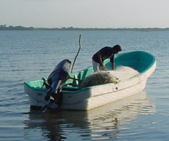
then parking and taking a fisherman's motor boat about 4 or 5 miles to Cabo Rojo.
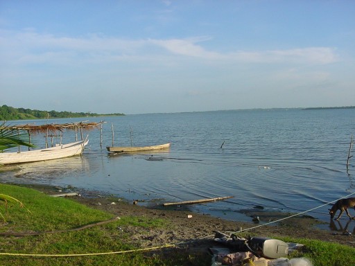
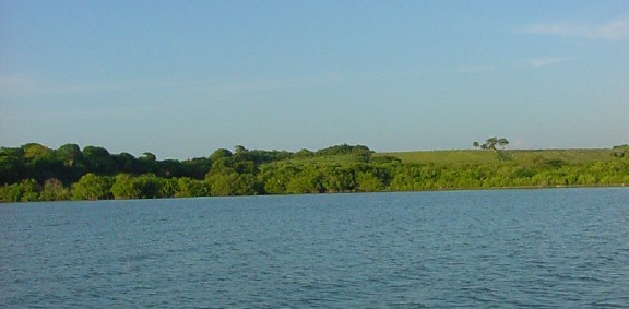
Looking across the lagoon from Cabo Rojo to the mainland.
This is typical of land on Cabo Rojo.
There is a village on Cabo Rojo.
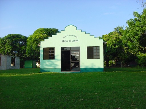
Some years ago, a church was planted here, and now almost the entire community are Christians!
Fishing and farming provide the major means of survival.
A transit bus visits the island connected to the mainland with a ferry. We discovered this as the bus squeezed onto the ferry next to us. It was a tight fit!
Our contact to Cabo Rojo was Ventura, a lay pastor.
Visit Camps International web site to learn more about doing Christian camps in different countries.
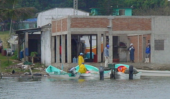
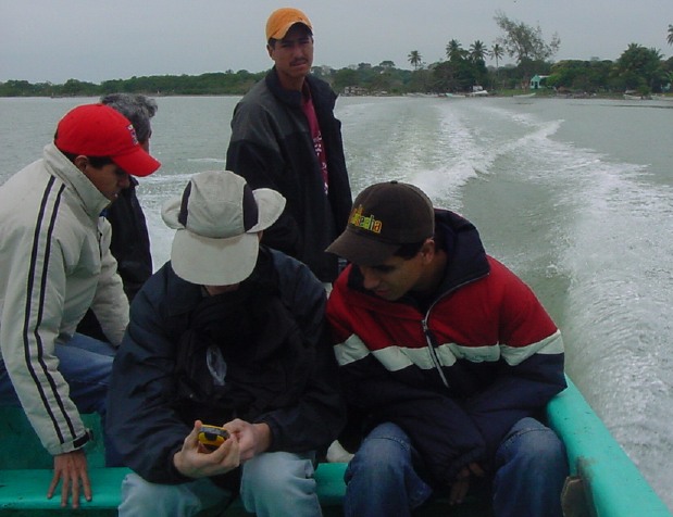
Most of the inner shoreline of Cabo Rojo is muddy. We did not seen the Gulf side of the island.
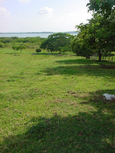
Some land is forested while other land is open fields.
Cabo Rojo has a mixture of palm and other types of trees.
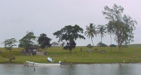
Look carefully, under the trees are houses.
Cabo Rojo could be an ideal place to have camp. Land here is (was at the time) relatively inexpensive and has many interesting features. But with roads being developed and improved, this island could become very popular with vacationers. At that point, land values will climb significantly.